
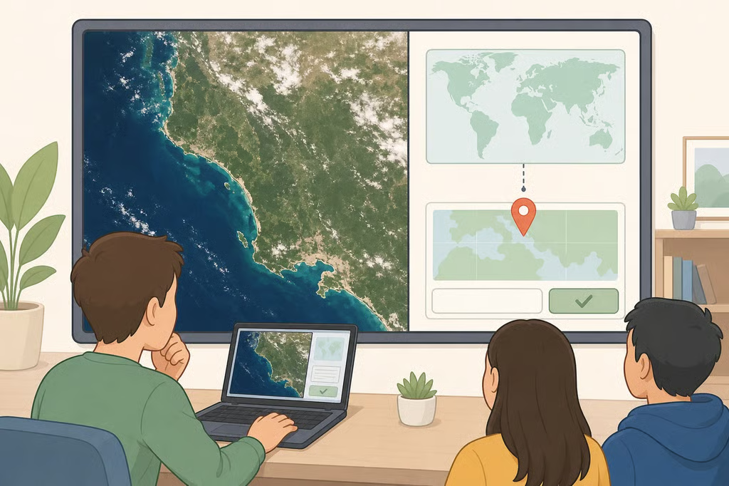
NASA satellite image challenge: how it works explained
NASA Earth Observatory posted a new NASA satellite image challenge on Oct. 6, 2026, asking the public to identify the location in a satellite image before the agency reveals the answer (NASA Science, the October puzzler). Readers can submit a response now. NASA says it will post the answer at the top of the same page roughly a week after the challenge went live, along with a link to a fuller Image of the Day explainer (NASA Science, the October puzzler).
This isn't a one-time event. NASA Earth Observatory runs this format every month (NASA Science, the October puzzler), with recent rounds covering the August puzzler and the June puzzler. Each post follows the same basic shape: study an image, submit a hypothesis, then wait for NASA's reveal.
That structure is what makes the series useful beyond a one-time trivia question. Middle schoolers, high schoolers, college students, adult learners, and teachers looking for a quick geography warm-up can all take part the same way, since the challenge asks for observation and reasoning rather than specialized training.
How the NASA Earth Observatory satellite puzzler works
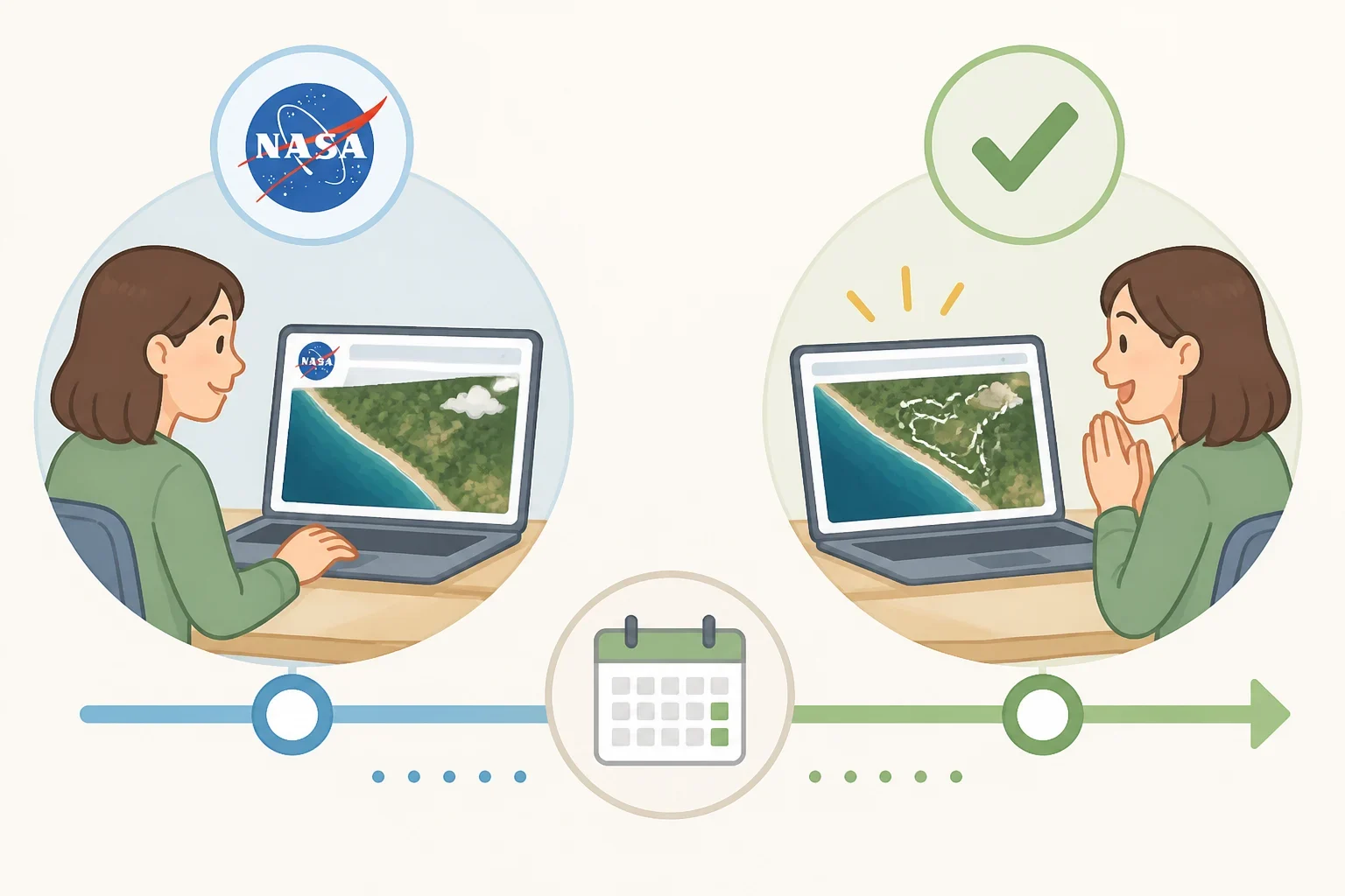
Every entry starts the same way. NASA Earth Observatory posts an image and asks readers to identify where it was taken (NASA Science, the October puzzler).
About a week later, NASA posts the answer at the top of the same page, along with a link to the fuller Image of the Day story that explains what the picture shows (NASA Science, the October puzzler). That delay is intentional. It gives readers time to study the image and work through their own reasoning before the location is confirmed.
NASA says it will recognize the first person who correctly identifies the location, and it may also highlight readers who share especially thoughtful or detailed answers (NASA Science, the October puzzler). That second detail matters for anyone using the challenge as a learning exercise: a careful, well-explained guess can earn recognition even if it isn't first.
The October page also warns that submitted comments may be edited, excerpted, and published on the page (NASA Science, the October puzzler). Anyone submitting a response should treat it as public, not as private correspondence with NASA.
Who can take part, and what the October submission process asks
NASA doesn't restrict the challenge to a particular age group or background. The October page simply asks readers to identify the location shown in the image (NASA Science, the October puzzler). That open framing is part of why the activity fits a seventh grader studying landforms and an adult learner brushing up on geography equally well.
The October page notes that comments may be published but doesn't spell out the exact submission steps beyond that. Earlier 2026 rounds give a clearer picture of how the process usually works: the June entry directed readers to a web form and asked them to select "Puzzler Answer" as the topic (NASA Science, the June puzzler). Since the exact instructions can shift from round to round, readers should check the October page directly rather than assume one month's process carries over to the next.
Winners from recent rounds show how broad participation already is. Huzaifa Javed was first to identify the location in the August puzzler, Owen Lewis in the June puzzler, and Franklin in the April puzzler (NASA Science, the August puzzler; the June puzzler; the April puzzler).
What earlier reveals teach about reading a satellite image
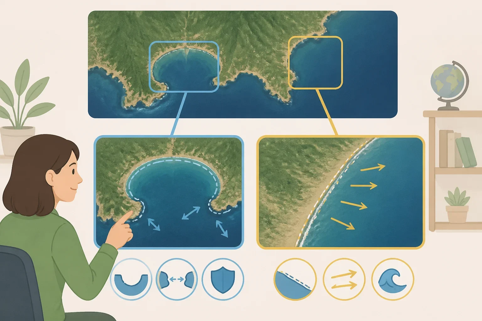
NASA's prompts in earlier rounds have asked participants to point out the visible clues they see, propose a location, and explain what makes the place interesting, rather than simply naming a spot (NASA Science, the June puzzler). NASA's revealed answers show the kinds of geographic clues readers can examine, though they describe NASA's own explanation of the place rather than a documented record of how any one winner actually reasoned through it.
The August puzzler is a case in point. NASA's reveal identified a Landsat 8 image of part of Roebuck Bay in Western Australia (NASA Science, the August puzzler). A reader scanning that image for the boundary between water and land, and for the shape of the coastline against open water, would have been looking at exactly the feature that separates a bay from open coast or a lake.
The June puzzler worked differently. NASA's reveal described part of a dune field in Nebraska's Sandhills, now stabilized by grassland vegetation (NASA Science, the June puzzler). That answer depends on texture rather than open water. Rounded, vegetated ridges read differently from bare sand or plowed farmland even from orbit, which is the kind of surface pattern that separates a stabilized dune system from a desert.
The April puzzler turned on shape. NASA's reveal named the tadpole-shaped island Xərə Zirə Adası, also known as Bulla Island, located in the Caspian Sea and part of Azerbaijan, and explained that it formed from mud volcano deposits later reshaped by waves and currents (NASA Science, the April puzzler). A few additional details posted alongside that image read like informal reader commentary rather than NASA's own captioned data, so the island's Landsat 8 source, its location, and its mud-volcano formation are the parts worth treating as confirmed.
Lined up together, those three reveals cover a bay, a dune field, and a volcanic island. None of them required specialized training to notice. Each depended on reading water against land, surface texture, or shape, the same handful of visual cues that show up again and again in satellite imagery.
A classroom way to use the challenge
For a classroom adaptation, teachers could ask students to record one visible clue, one location hypothesis, and one question before checking NASA's reveal. That's an editorial suggestion for using the challenge as a lesson, not a method NASA has published, but it mirrors the open-ended prompt NASA itself uses when it asks readers for clues, a location guess, and what makes a place interesting.
Younger students may need the categories from the examples above, water versus land, texture, and shape, spelled out as explicit prompts rather than left implicit. Older students and adult learners can work from NASA's own prompt directly, since it already asks for the same things in plain language.
What to do next
Readers who want to try the October challenge should open the current NASA Earth Observatory page, study the image for the same kinds of features that past reveals have turned on, and write down a location hypothesis along with the visible evidence behind it (NASA Science, the October puzzler). Check the page's own instructions for how to submit, since the method has changed before, then return after the reveal to compare the official explanation against the reasoning written down beforehand.