
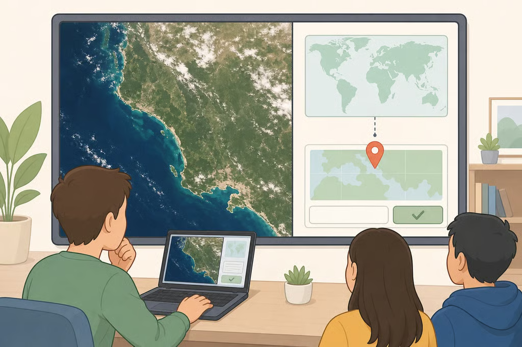
NASA Earth Observatory released its October 2026 Satellite Puzzler on Oct. 6, inviting the public to identify a mystery location on Earth using a satellite image. Participants can submit their guesses through an online form before the agency reveals the answer, which is expected approximately one week after the challenge begins.
The October 2026 Satellite Puzzler is part of a monthly series that challenges readers to recognize geographical features from space. Students, teachers and geography enthusiasts can participate without specialized equipment or scientific training. A location guess is enough to enter, although NASA also welcomes explanations of the clues participants find.
There is no cash prize. Instead, NASA recognizes the first person to correctly identify the location and may feature particularly insightful responses. For students, the exercise offers a chance to study real satellite imagery and practice geographical observation, research and reasoning.
How to enter NASA's Satellite Puzzler
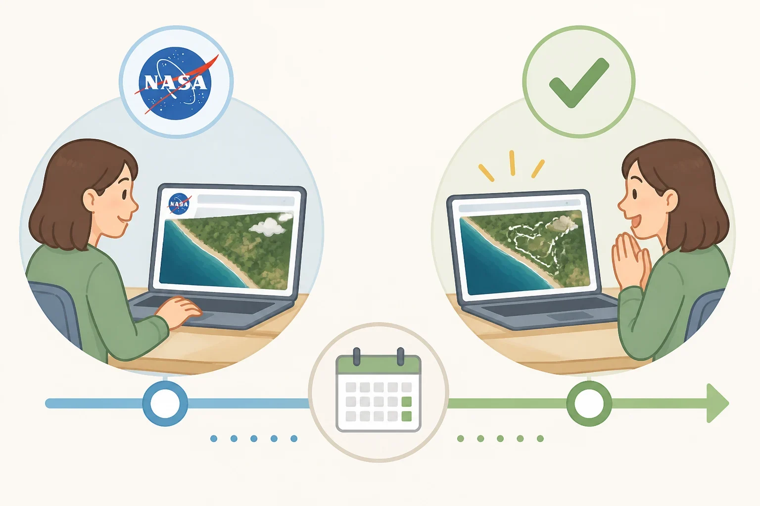
Participating in the October challenge requires examining the image, deciding where it was taken and submitting an answer. NASA does not require participants to identify the satellite or imaging equipment, although additional details can make a submission more informative.
To enter, follow these steps:
- Examine the mystery image. Open the October challenge page and study the landscape. Look for coastlines, mountains, rivers, unusual shapes or patterns that might help identify the location.
- Develop a location guess. Consider what the visible features suggest about the area's geography. You can submit a simple answer or explain the observations behind your hypothesis.
- Submit your response. Use NASA's Earth Observatory contact form, select "Puzzler Answer" as the topic and include your preferred name or alias.
- Check the official reveal. Return to the challenge page after NASA publishes the answer to compare your observations with its explanation.
NASA encourages participants to identify interesting details in the image. More experienced readers can also investigate the satellite, instrument or spectral bands used to produce it. These details are optional, allowing beginners to participate while giving more advanced learners an opportunity to explore remote sensing.
The agency expects to reveal the October location approximately one week after Oct. 6, alongside an Image of the Day article explaining the landscape. NASA has not specified a submission deadline, so participants should check the official page rather than treat the expected reveal date as a firm cutoff.
NASA may edit, excerpt and publish submitted comments. Participants should therefore avoid including personal information they would not want shared publicly. Teachers working with younger students can conduct the exercise in class without requiring individual submissions.
How to recognize geographical clues in satellite images
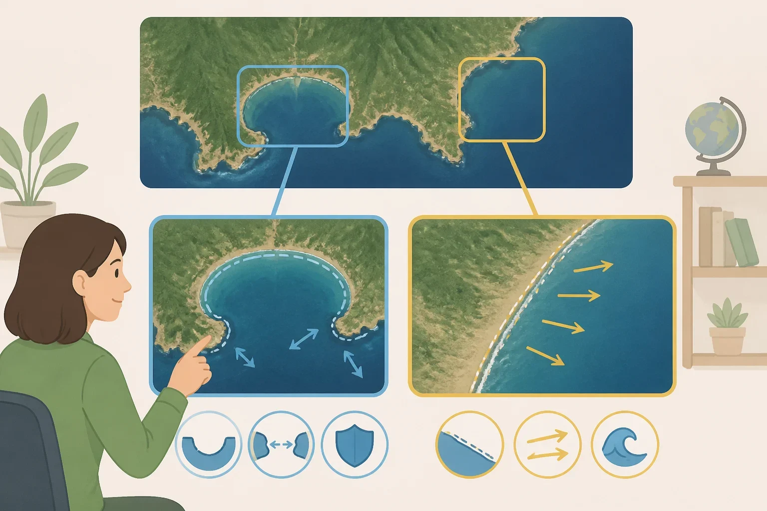
Satellite images offer a different perspective from photographs taken at ground level. Familiar geographical features can form distinctive patterns when viewed from above, while seemingly ordinary stretches of terrain may reveal clues about their location or geological history.
Rather than guessing a country immediately, begin with the landscape's broad characteristics. Is the area surrounded by water? Are the visible ridges straight, curved or irregular? Do darker patches suggest vegetation, or could they represent shadows or water?
Color can help, but it requires caution. Some satellite images combine wavelengths of light that the human eye cannot normally see, producing false-color images. Vegetation and other surface features may therefore appear in unfamiliar colors. Shape, texture and the arrangement of features provide additional evidence.
Previous NASA puzzlers demonstrate how readers can approach these visual clues.
September 2026: Vasquez Rocks, California
NASA's September satellite puzzler featured Vasquez Rocks in California, captured by Landsat 9. The area's steeply tilted sedimentary layers create distinctive patterns across the landscape.
In a response published by NASA, a participant identified several clues, including the curved rock formations, State Route 14 and the runway at Agua Dulce Airpark. The combination of natural and human-made features helped distinguish the location from other rocky terrain.
NASA recognized Dan Richards as the first person to identify the area correctly, while also featuring observations submitted by another participant, Lilambd.
August 2026: Roebuck Bay, Australia
In August, NASA revealed that its mystery image showed Roebuck Bay in Western Australia, captured by Landsat 8.
Coastal landscapes can offer clues through the relationship between land and water. An irregular shoreline, the shape of a bay and surrounding terrain can help distinguish one coastal location from another. Participants can begin by examining these broad features before researching a more precise geographical match.
June 2026: Nebraska Sandhills
The June challenge featured a dune field in Nebraska's Sandhills, where grassland vegetation has stabilized the dunes. NASA identified the location using imagery captured by Landsat 8.
Unlike bare desert dunes, these landforms are covered with vegetation. Their rounded ridges and repeating surface patterns illustrate how texture can help distinguish landscapes. Vegetation also provides clues about the environmental conditions that shape a region.
April 2026: An island shaped by mud volcanoes
An earlier challenge featured Xərə Zirə Adası, also known as Bulla Island, in Azerbaijan's section of the Caspian Sea.
NASA explained that the tadpole-shaped island formed from mud volcano deposits subsequently reshaped by waves and currents. Its unusual outline provided a recognizable clue, while the official explanation connected the visible landform to the geological processes that created it.
Comparing several features can produce a stronger hypothesis than relying on one unusual shape. Even a distinctive coastline or rock formation may have similarities elsewhere, making surrounding details important.
Turn NASA's challenge into a geography lesson
Teachers can adapt the Satellite Puzzler into a short geography or Earth science exercise without requiring students to know the answer beforehand. Students can first describe what they see, then develop a hypothesis and investigate whether the evidence supports it.
A simple classroom activity can use three prompts:
- Observation: Identify three visible features, such as water, ridges, vegetation or unusual shapes.
- Hypothesis: Suggest a possible location and explain which observations support the guess.
- Verification: Compare the prediction with NASA's official reveal and identify which clues were useful or misleading.
For younger students, teachers can provide categories such as land versus water, natural versus human-made features, and differences in shape or texture. Students can then describe their observations using familiar geographical vocabulary.
Older students can investigate regional maps, geological formations or the characteristics of satellite imagery. They might compare the image with a conventional map or examine how false-color imagery changes the appearance of familiar terrain.
An important distinction is the difference between observation and inference. Noticing a curved shoreline is an observation; identifying the exact bay is a hypothesis that requires supporting evidence. An incorrect guess can still demonstrate careful reasoning if it is based on clearly identified clues.
The October challenge gives students a chance to put those skills into practice. Study the image, record the strongest clues and submit a location guess using NASA's official form. When the answer is revealed, compare it with the original observations. The goal is not simply to name the right place, but to understand which details led toward the answer — and which pointed in the wrong direction.