
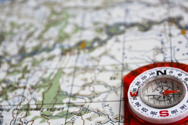
Geographic information science represents a field of research that focuses on environmental concepts by using geographic information systems. This computer system is an interactive mapping tool that allows for greater examination of Earth’s spatial, aerial and global positioning. The technology organizes detailed map data in a straightforward manner so that people can then select relevant information for their tasks, helping them make better decisions. The GIS has become an extremely useful assessment tool for planning and management for businesses, government agencies, education settings and economic development.
City Planning Proposal
This topic is applicable to any location and requires several important aspects of spatial information -- parcel, zoning, land-use data, housing stock and transportation networks. As a thesis idea, you might evaluate future population growth to project a city's upcoming needs for public services, electricity and water. Use your own city or another community to gather the data yourself. After completing your findings, propose your results to city planners for a pilot study focusing on the city's future needs. By helping create a pilot study, you would also be ready to begin a dissertation if you choose to pursue a doctoral degree.
Evaluating Emergency and Medical Services
A prominent factor in an emergency situation for patients is the distance to medical care from their current location along with any specific services needed. This also influences where they may choose to receive their care. An article, “GIS for EMS,” published on the High Performance EMS website, explains the benefits of using the GIS geocoding service system -- a specialized GPS navigation system -- to find location coordinates of an address. For your thesis, evaluate local emergency response services by using your city census information for the geocoding data. The geocoding system will then give you a list of travel barriers, the location of all emergency responders, medical centers according to their available equipment and/or specialty services provided. These findings will allow you to design a contoured map of estimated travel time and distance for local residents according to convenience, landscape obstructions and various medical services that can influence such decisions.
Air Quality Preservation Analysis
In 1970, Congress implemented the Clean Air Act, granting the Environmental Protection Agency the responsibility to safeguard the environment from further pollution and related harmful effects. This act was revised and expanded by Congress in 1990, providing the EPA even greater authority with higher standards. As a thesis idea, compare your local community’s level of environmental toxins and pollution levels to evaluate if the current EPA standards are being met. Use the geographic information system to analyze and input the effects of ground-level ozone pathogens, smog, haze visibility, dirt or debris, particle pollution and other airborne contaminants that are detrimental to plant and human life. Creating a 3-D map from the results would enable you to provide greater visual awareness about the locations that are creating the most air pollution so that preservationists can better control these areas, ensuring that EPA standards are being met.
Natural Disaster Planning
According to the National Weather Service’s Storm Prediction Center, every year, nearly 1,300 tornadoes sweep through the United States, resulting in approximately 60 fatalities with an average warning time of only 13 minutes. Since tornadoes can touch down without any warning, it is important to have the best technology available. Use GIS mapping to provide information regarding pre-emergency planning and post-response and recovery -- such as, minimizing damage with siren locations, densely populated regions likely to be most affected, location and distance of emergency responders, damage severity indicators and coordinates of heavily affected areas in need of immediate service.